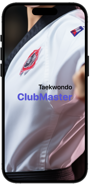
ClubManager: Revolutionizing Taekwondo Club Management!
Are you a Taekwondo club master looking for a seamless solution to manage your club members and streamline the examination process? Look no further! ClubMaster is here to transform the way you run your club, making management effortless and efficient.
Explore the power of ClubMaster today and take your Taekwondo club to new heights!
Explore the Power of ClubMaster:
✨ Member Management Made Easy
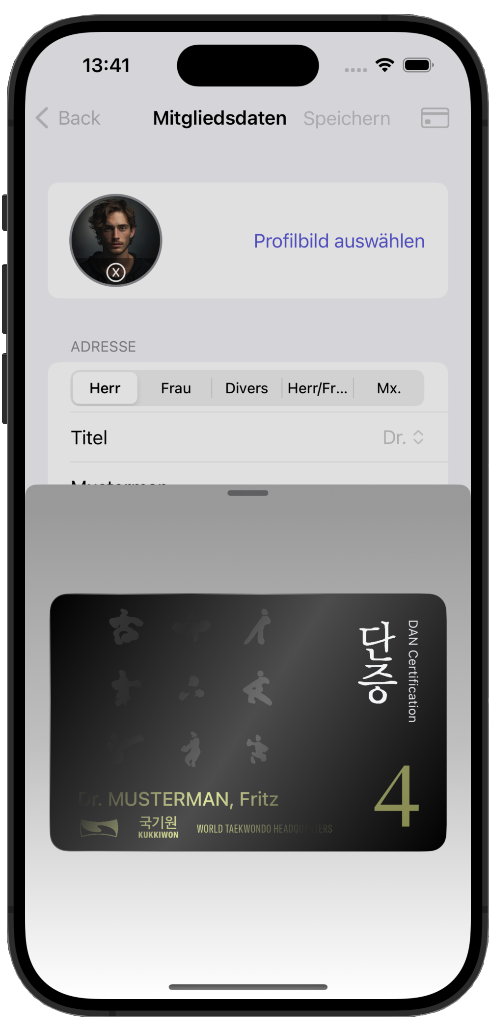
ClubMaster simplifies the task of managing club members. Keep track of attendance, belt progress, and personal details all in one centralized platform.
Say goodbye to paperwork chaos!
🎓 Effortless Exam Coordination
Conducting exams has never been smoother. ClubMaster enables you to schedule exams, track progress, and generate detailed reports with just a few clicks. Focus on coaching, not administrative hassles!
🏆 Empower Your Club
Equip your club with the tools it needs to thrive. ClubMaster fosters a sense of community among members, offering a platform for communication, event planning, and collaboration.
🚀 Intuitive and User-Friendly
No technical expertise required! ClubMaster boasts an intuitive interface designed with the user in mind. Navigate effortlessly and make the most of its powerful features.
🌟 Join the ClubMaster Revolution Today!
Ready to experience the future of Taekwondo club management? Elevate your club's efficiency, enhance member engagement, and make administrative tasks a breeze. Say hello to ClubMaster — where managing your club is as smooth as executing a perfect Di Dolyo Chagi!